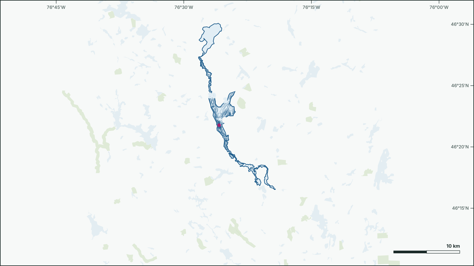
Lac Pythonga
46.3771° N, 76.424° W
Lac Pythonga is a 25 km², up to 62.6 m deep lake 31 km northwest of Lac-Cayamant, La Vallée-de-la-Gatineau, Quebec.
- Area
- 25 km²
- Maximum depth
- 62.6 msurveyed 2019
- Shoreline
- 108 km
- Elevation
- 206 m
Depth
The government depth survey from 2019 records a maximum depth of 62.6 m, drawn from 79 depth contours.
Official government depth map: download the PDF
Not for navigation. Depths are from government surveys and may be outdated.