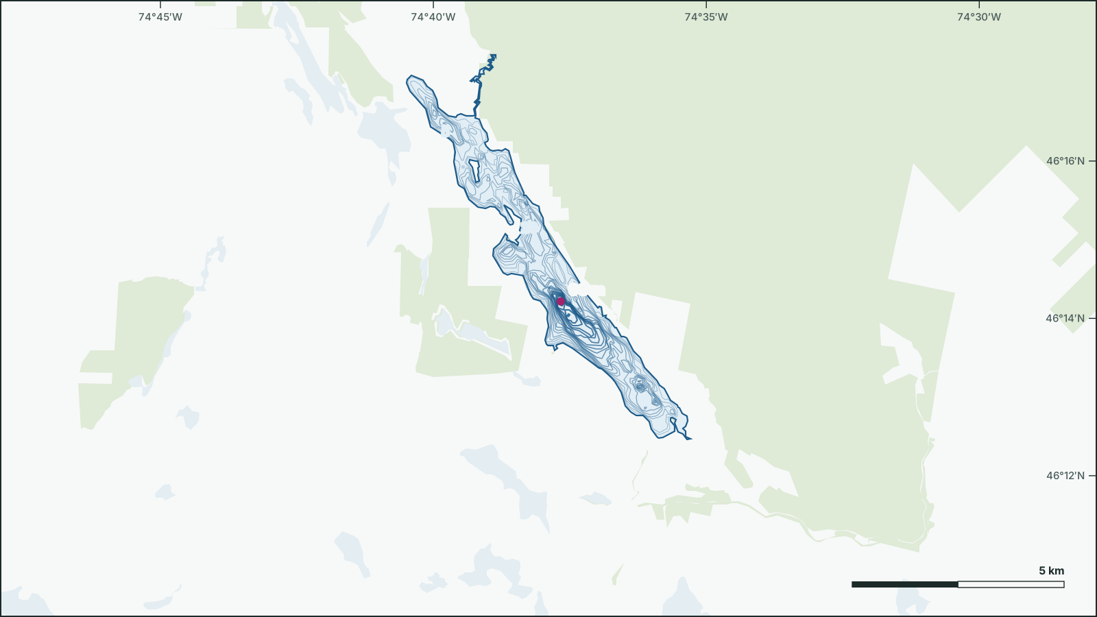
Lac Tremblant
46.2402° N, 74.631° W
Lac Tremblant is a 9.53 km², up to 97.6 m deep lake 15 km northwest of Mont-Tremblant, Les Laurentides, Quebec.
- Area
- 9.53 km²
- Maximum depth
- 97.6 msurveyed 2012
- Shoreline
- 34.7 km
- Elevation
- 224 m
Depth
The government depth survey from 2012 records a maximum depth of 97.6 m, drawn from 119 depth contours.
Official government depth map: download the PDF
Not for navigation. Depths are from government surveys and may be outdated.
Water
Trophic status from the latest monitoring: oligotrophic.