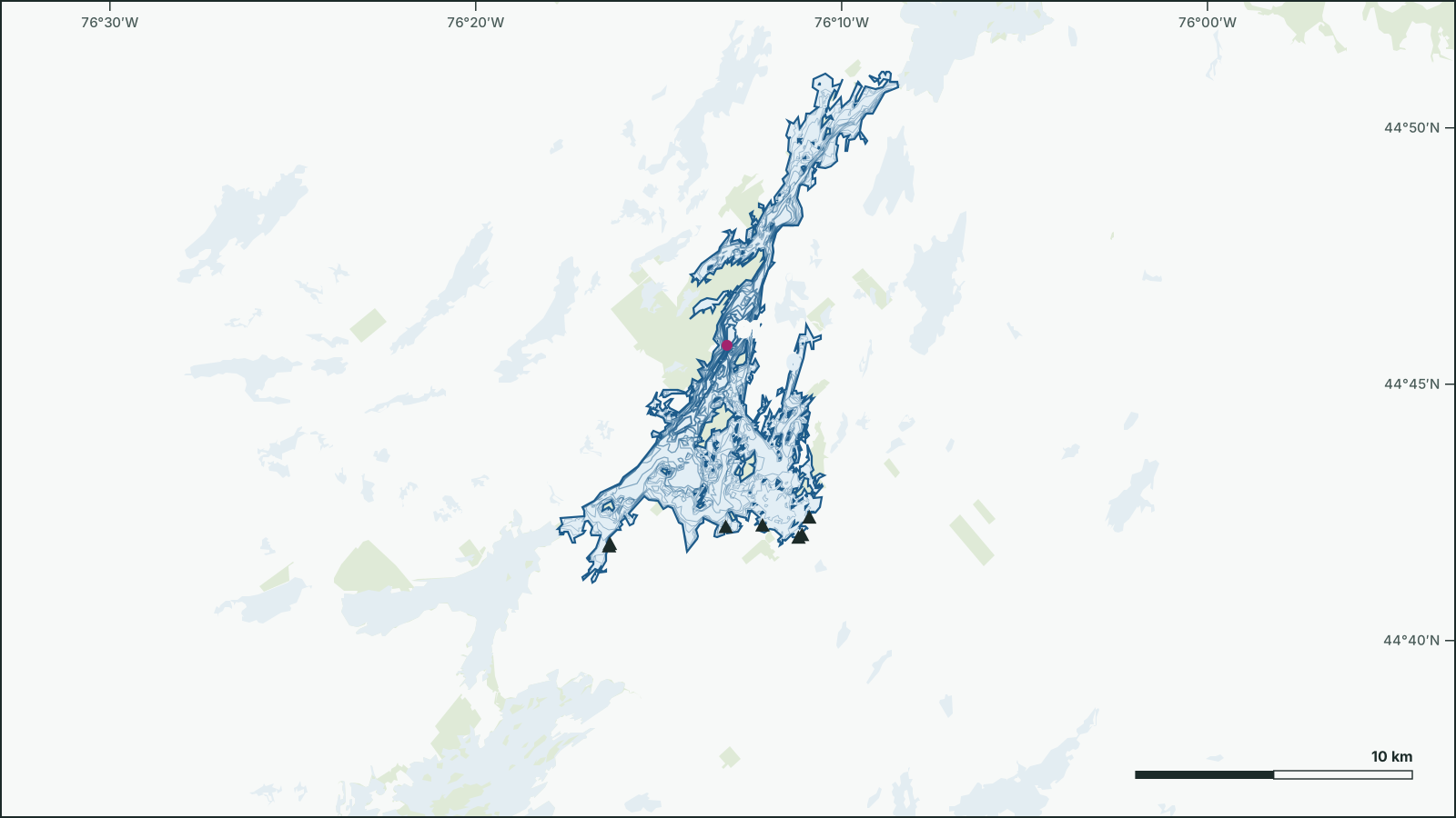
Big Rideau Lake
44.7513° N, 76.2138° W
Big Rideau Lake is a 74.3 km², up to 91.4 m deep lake 15 km southeast of Perth, Lanark, Ontario.
- Area
- 74.3 km²
- Maximum depth
- 91.4 msurveyed 1972
- Shoreline
- 291 km
- Elevation
- 122 m
- Fish species
- 22
Depth
The government depth survey from 1972 records a maximum depth of 91.4 m, drawn from 556 depth contours.
Not for navigation. Depths are from government surveys and may be outdated.
Fish
Species recorded in 134 government fish surveys between 2001 and 2019.
- Smallmouth Bass
- Largemouth Bass
- Northern Pike
- Yellow Perch
- Pumpkinseed
- Bluegill
- Rock Bass
- Cisco
- Lake Trout
- Black Crappie
- Burbot
- Lake Whitefish
- Walleye
- Brown Bullhead
- Alewife
- Emerald Shiner
- Golden Shiner
- Bridle Shiner
- Gizzard Shad
- Ninespine Stickleback
- Sand Shiner
- White Sucker
Fishing regulations: Fisheries Management Zone 18
Water
Getting on the water
- Boat launch44.7008, -76.1847
- Boat launch44.7039, -76.2027
- Boat launch44.6638, -76.3364
- Boat launch44.661, -76.3397
- Boat launch44.6758, -76.3424
- Boat launch44.6999, -76.1863
- Boat launch44.6979, -76.2722
- Boat launch44.8809, -76.1147
- Boat launch44.7034, -76.2195
- Boat launch44.6703, -76.3688
- Boat launch44.7065, -76.1814
- Boat launch44.6971, -76.2726
- Shore access44.8916, -76.1165