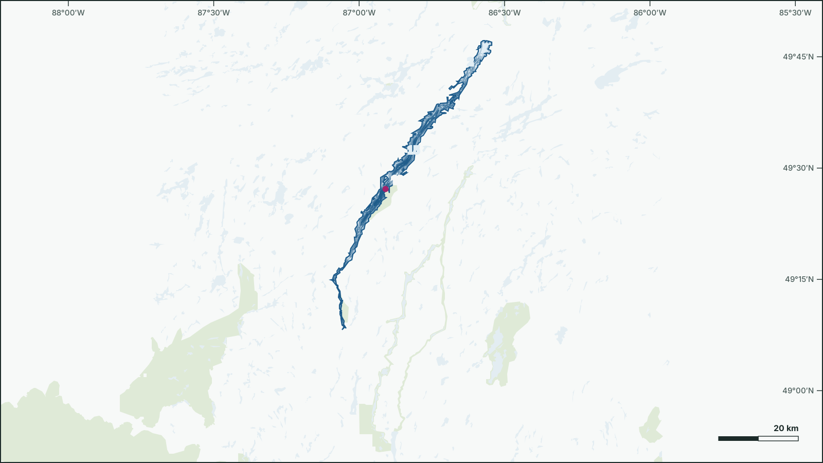
Long Lake
49.475° N, 86.8906° W
Long Lake is a 136 km², up to 167.6 m deep lake 26 km south of Little Longlac, Thunder Bay, Ontario.
- Area
- 136 km²
- Maximum depth
- 167.6 msurveyed 1968
- Shoreline
- 297 km
- Elevation
- 311 m
- Fish species
- 16
Depth
The government depth survey from 1968 records a maximum depth of 167.6 m, drawn from 168 depth contours.
Not for navigation. Depths are from government surveys and may be outdated.
Fish
Species recorded in 68 government fish surveys between 2012 and 2012.
- Cisco
- Walleye
- Burbot
- Lake Whitefish
- Yellow Perch
- Northern Pike
- Lake Trout
- Longnose Sucker
- Trout-Perch
- White Sucker
- Spottail Shiner
- Lake Chub
- Brook Stickleback
- Logperch
- Ninespine Stickleback
- Rainbow Smelt
Fishing regulations: Fisheries Management Zone 7