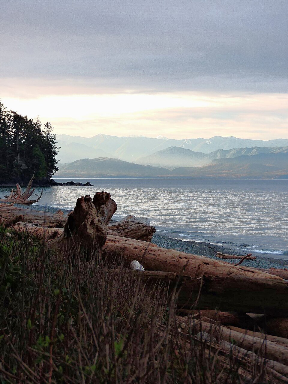
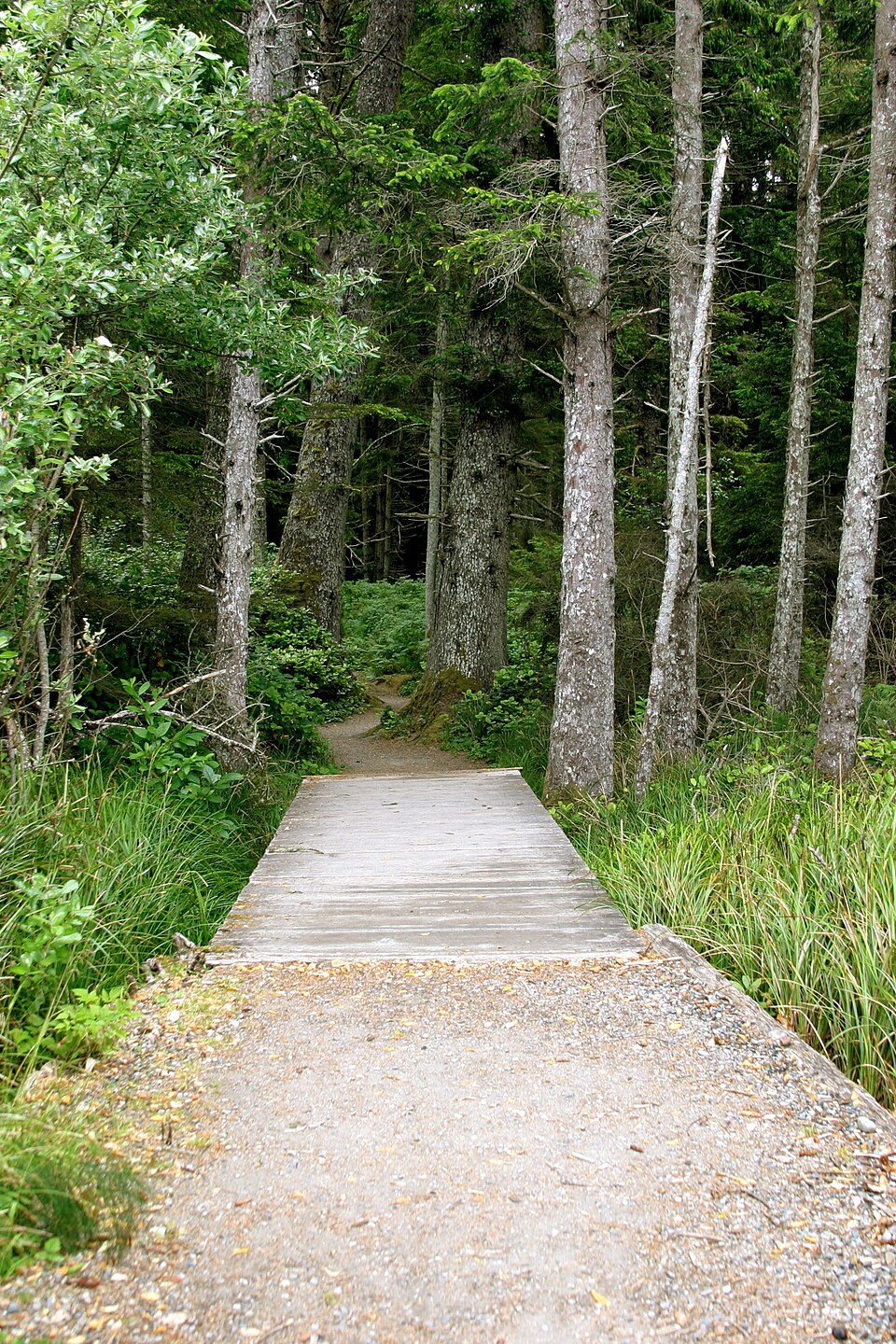
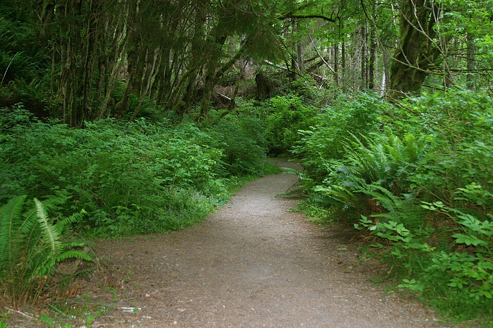
French Beach Park
48.3919° N, 123.9421° W
French Beach Park, British Columbia. 48.3919° N, 123.9421° W
Provincial park, 0.55 km². Scale bar on the map.
borealbound.ca/parks/bc/french-beach-park/, compiled October 9, 2026
- Canadian Protected and Conserved Areas Database, Environment and Climate Change Canada. Contains information licensed under the Open Government Licence – Canada.
- BC Parks protected areas, BC Parks. Contains information licensed under the Open Government Licence – British Columbia.
- Canadian Geographical Names Database, Natural Resources Canada. Contains information licensed under the Open Government Licence – Canada.
- Census boundaries and population, 2021, Statistics Canada. Adapted from Statistics Canada. This does not constitute an endorsement by Statistics Canada.
- City page weather forecasts and alerts, Environment and Climate Change Canada. Contains data from Environment and Climate Change Canada (ECCC Data Servers End-use Licence).
- Air Quality Health Index observations and forecasts, Environment and Climate Change Canada. Contains data from Environment and Climate Change Canada (ECCC Data Servers End-use Licence).
- Photographs, Wikimedia Commons contributors. Each photo carries its own licence (CC0, public domain, CC BY or CC BY-SA), credited where shown.
French Beach Park is a 0.55 km² provincial park 7.8 km southeast of River Jordan, in British Columbia. It was established in 1974.
- Area
- 0.55 km²
- Established
- 1974
Conditions today
14 °C
Observed at Malahat, as of 8:00 a.m. PDT
Today: Rain ending this morning then a mix of sun and cloud with showers beginning this afternoon. Wind southeast 30 km/h gusting to 50 becoming southwest 30 gusting to 50 except west 50 gusting to 70 near Juan de Fuca Strait late this morning and this afternoon. High 16 with temperature falling to 11 this afternoon. UV index 3 or moderate.
Weather: Malahat (local forecast), as of 8:02 a.m. PDT
Sun and moon
- Civil dawn
- 6:55 a.m.
- Sunrise
- 7:27 a.m.
- Sunset
- 6:38 p.m.
- Civil dusk
- 7:09 p.m.
- Moonrise
- 6:27 a.m.
- Moonset
- 5:58 p.m.
- Moon
- Waning crescent, 1% lit
Air Quality Health Index
2 low risk
WestShore, as of 7:00 a.m. PDT
In the park
Beaches
Official names from the Canadian Geographical Names Database; each name opens its location on OpenStreetMap.
Things to do
Activities
- Cycling
- Fishing
- Hiking
- Interpretive programs
- Pets on leash
- Swimming
- Wildlife viewing
- Windsurfing
- Winter recreation
Camping
- Frontcountry camping
- Group camping
- RV-accessible camping
- Winter camping
Facilities
- Accessibility information
- Campfires
- Drinking water
- Picnic areas
- Pit or flush toilets
- Playground
- Sani-station
As listed by the park’s official page. Book a campsite
Official record
- Designation
- Provincial park
- Park class
- Class A
- Managed by
- Government of British Columbia
- Official website
- bcparks.ca
- Reservations
- camping.bcparks.ca
Photos