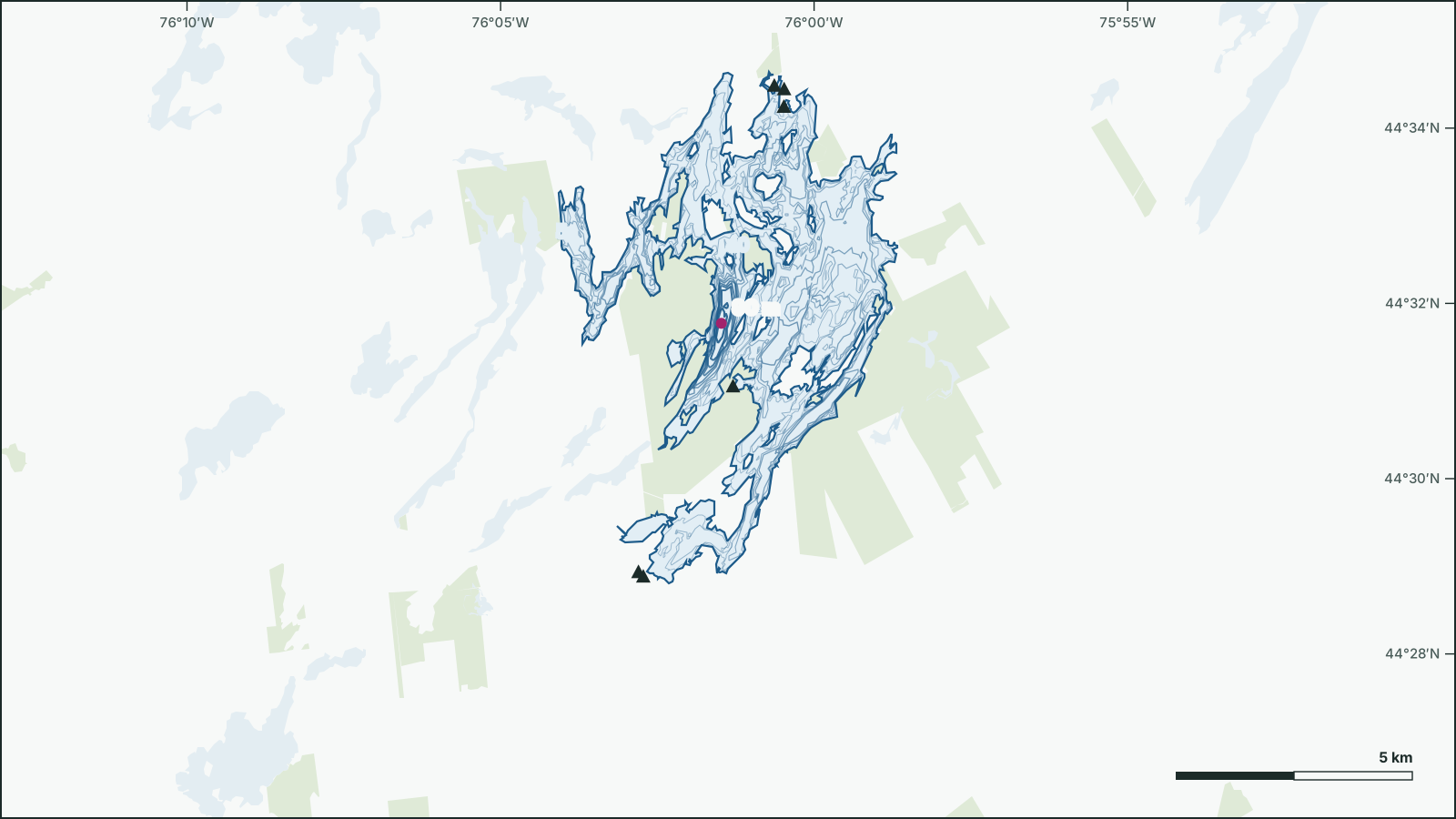
Charleston Lake
44.5346° N, 76.0158° W
Charleston Lake is a 26.9 km², up to 90 m deep lake 27 km southwest of Brockville, Leeds and Grenville, Ontario.
- Area
- 26.9 km²
- Maximum depth
- 90 msurveyed 2004
- Shoreline
- 140 km
- Elevation
- 85 m
- Fish species
- 23
Depth
The government depth survey from 2004 records a maximum depth of 90 m, drawn from 370 depth contours.
Not for navigation. Depths are from government surveys and may be outdated.
Fish
Species recorded in 81 government fish surveys between 2001 and 2014.
- Rock Bass
- Yellow Perch
- Lake Trout
- Pumpkinseed
- Smallmouth Bass
- Cisco
- Bluegill
- Largemouth Bass
- Northern Pike
- Black Crappie
- Brown Bullhead
- Yellow Bullhead
- Golden Shiner
- Bluntnose Minnow
- Mottled Sculpin
- Blackchin Shiner
- Bowfin
- Alewife
- Banded Killifish
- Blacknose Shiner
- Brook Silverside
- Slimy Sculpin
- White Sucker
Fishing regulations: Fisheries Management Zone 18
Water
Getting on the water
- Boat launch44.574, -76.008
- Boat launch44.5746, -76.0106
- Boat launch44.5174, -76.0216
- Boat launch44.5706, -76.0081
- Boat launch44.4821, -76.0467
- Boat launch44.4813, -76.0454