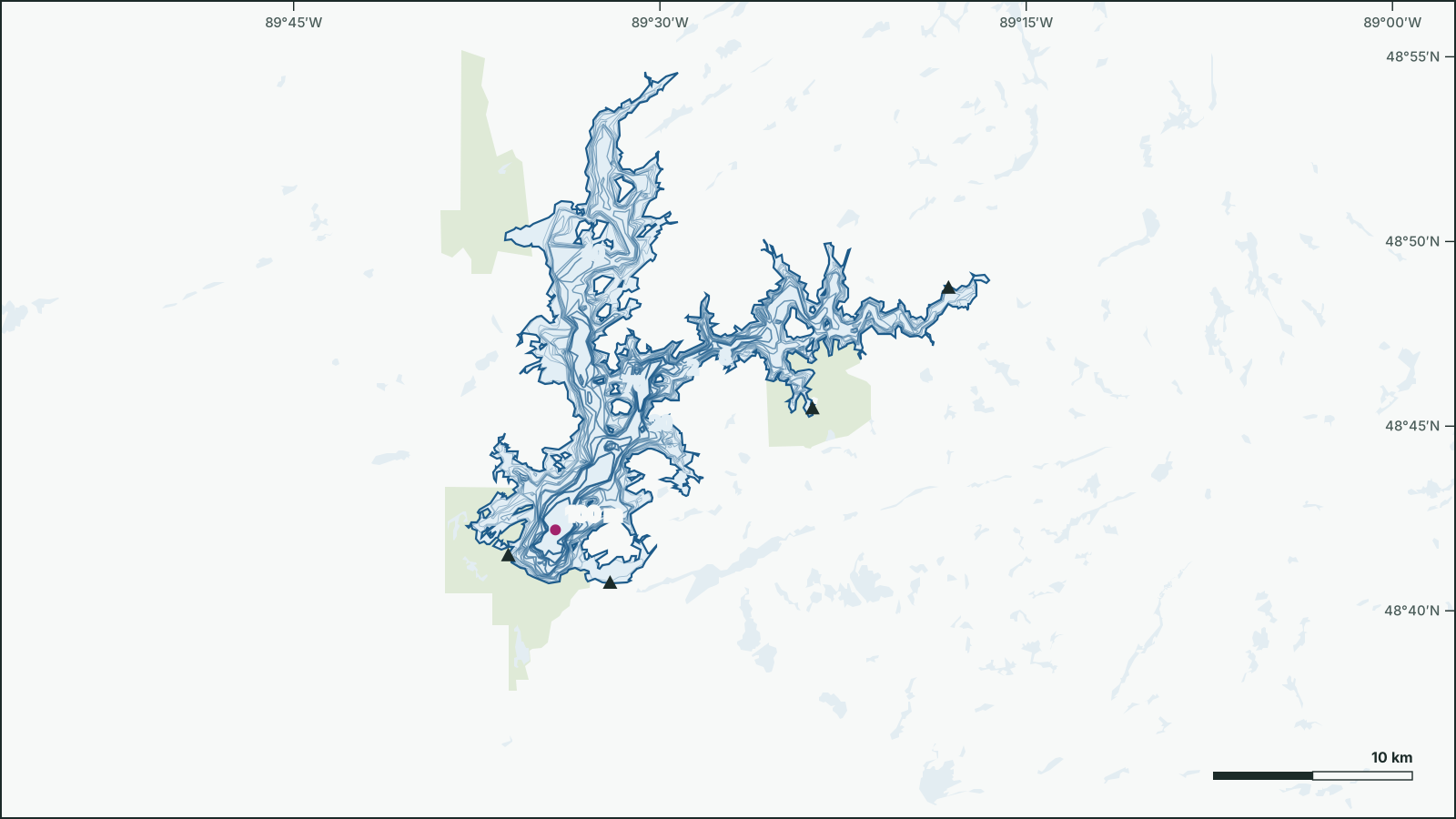
Dog Lake
48.7781° N, 89.5128° W
Dog Lake is a 144 km², up to 100 m deep lake 26 km east of Raith, Thunder Bay, Ontario.
- Area
- 144 km²
- Maximum depth
- 100 m
- Shoreline
- 331 km
- Elevation
- 416 m
- Fish species
- 14
Depth
The government depth survey records a maximum depth of 100 m, drawn from 209 depth contours.
Not for navigation. Depths are from government surveys and may be outdated.
Fish
Species recorded in 109 government fish surveys between 2008 and 2024.
- Walleye
- Burbot
- Lake Whitefish
- Northern Pike
- Yellow Perch
- Smallmouth Bass
- Cisco
- Trout-Perch
- Longnose Sucker
- White Sucker
- Spottail Shiner
- Deepwater Sculpin
- Fathead Minnow
- Northern Redbelly Dace
Fishing regulations: Fisheries Management Zone 6
Getting on the water
- Boat launchDog Lake South West Access48.6915, -89.6035
- Boat launchDog Lake East Access48.812, -89.3028
- Boat launchDog Lake West Access48.7577, -89.3959
- Boat launchDog Lake South East Access48.6791, -89.5341